- +38(0542)68-77-87
- 116, Kharkivska st., Sumy, Ukraine
- info@el.sumdu.edu.ua
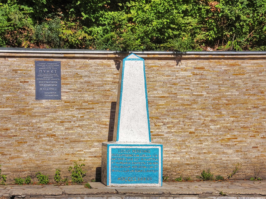
The geodetic sign at the location of the geographical center of Europe
Full name of the monument :
The geodetic sign at the location of the geographical center of Europe
Region :
Transcarpathian region
Address of the monument :
Rakhiv district, Dilove village
Status :
Historical monument of local significance
Monument installation year (s) (if available) :
1887
Time classification according to the installation epoch :
Imperial period from XVIIІ centuries to 1918
Architect-artist S.S. Kozurak
Person/event, object the monument is dedicated to :
real person(s)
Size :
The height of the sign is 2 meters. The height of the stele is 7.2 meters.
Material :
stone
Type of art composition :
architectural object(s)
Artistic approach :
abstract art
Main text, additional text (if available) :
Yes
Language(s) of the text :
Other(s)
Narrative commemorates :
Imperial era
The preservation state of the monument at the time of the research :
exists
Institution responsible for maintenance :
Rakhiv District Council
Institution’s website :
Free text that contains data valid for interpretation :
In 1885-1887, in the Verkhnyaya Tysyna hollow (Transcarpathia was then part of Austria-Hungary), the area was surveyed for the construction of the Rakhiv-Siget railway. In the process of measuring, engineers found out that the geographical center of Europe could be located somewhere in this area. Scientists from Vienna were invited here to determine the exact location of the center of Europe, and after a thorough check, they determined the location of the center of Europe. In 1887, a two-meter geodetic marker made of high-quality concrete was installed. The sign is shaped like a truncated tetrahedral pyramid carved in Latin on a rectangular pedestal. This sign survived two world wars and has survived to the present day in its original form, but since it looks very modest, it was decided to supplement it with another sign. On May 27, 1977, a 7.2 m high stele was built near the old sign. The parallel lines of the stele symbolize the four cardinal points. The emptiness between the divergent lines creates the impression of a holistic unity and centrality. The axis running in the middle reinforces the center of the composition. There is a ball symbolizing the planet Earth and carrying a technical load - it connects the plates, making the stele more stable.

